


les Baux de Provence

alinetpierre
User

Length
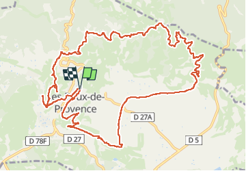
16 km

Max alt
292 m

Uphill gradient
401 m
Km-Effort
21 km

Min alt
82 m

Downhill gradient
395 m
Boucle
Yes
Creation date :
2023-03-09 08:11:26.825
Updated on :
2023-03-10 07:24:13.18
3h51
Difficulty : Medium

FREE GPS app for hiking
 SityTrail
IGN / Geographical institutes
SityTrail Plus
The world is yours!
About
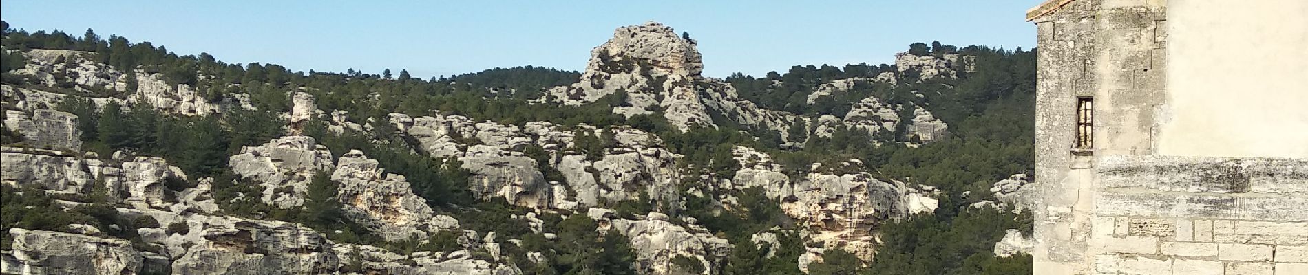
Trail Walking of 16 km to be discovered at Provence-Alpes-Côte d'Azur, Bouches-du-Rhône, Les Baux-de-Provence. This trail is proposed by alinetpierre.
Description
simplement magnifique
Photos


Positioning
Country:
France
Region :
Provence-Alpes-Côte d'Azur
Department/Province :
Bouches-du-Rhône
Municipality :
Les Baux-de-Provence
Location:
Unknown
Start:(Dec)
Start:(UTM)
644638 ; 4845225 (31T) N.
Comments